ALEA Institute launches the Nuisance Map, an open-source tool for Michigan residents to document nuisance impacts from data centers and infrastructure development, as part of an expanded community engagement initiative focused on transparency and balanced development.
AI infrastructure is arriving in communities across America at an unprecedented pace. Over $1.1 trillion in data center investment has been announced. For the communities that host these facilities—often rural, often underresourced—the challenge is not whether development will happen, but whether it will happen in a way that respects the people and places already there.
Data centers are not intrinsically good or bad. How we build them and how we use them determines that.
Try the Nuisance Map
The Nuisance Map is available now for Michigan residents at nuisancemap.org.
The rapid deployment of data centers presents a new kind of land-use challenge. These facilities consume enormous amounts of power and water, generate persistent noise from cooling systems, produce light pollution that disrupts surrounding properties, and increase heavy truck traffic—often in areas historically zoned for agriculture or low-density residential use. The scale is difficult to overstate: a single hyperscale campus can draw hundreds of megawatts of power, require millions of gallons of water daily, and occupy hundreds of acres of formerly agricultural land.
The communities hosting these facilities deserve to be informed partners in the development process, not passive recipients of decisions made elsewhere. Our research on infrastructure moratoria in Moratorium Nation documented 116 moratoria across 30 states—a clear signal that communities feel outpaced by development decisions being made above their heads. When local governments resort to emergency pauses, it reflects a breakdown in the ordinary planning process, not an unreasonable resistance to progress.
There is a fundamental imbalance between a hyperscale developer—backed by billions in capital, specialized legal counsel, and dedicated government relations teams—and a township board or rural community trying to evaluate a major infrastructure proposal for the first time. The developer has done this before, in dozens of jurisdictions. The township supervisor, the planning commission volunteer, the farmer whose property borders the site—they have not.
This asymmetry is not hypothetical. Our FOIA work on the Saline Township consent judgment revealed how a developer’s lawsuit reversed a democratic 4-1 vote to deny a $7 billion data center on 575 acres of farmland. When a single project carries more legal and financial resources than the entire township budget, the negotiation is not between equals. Communities need tools, information, and support to participate on more equal footing.
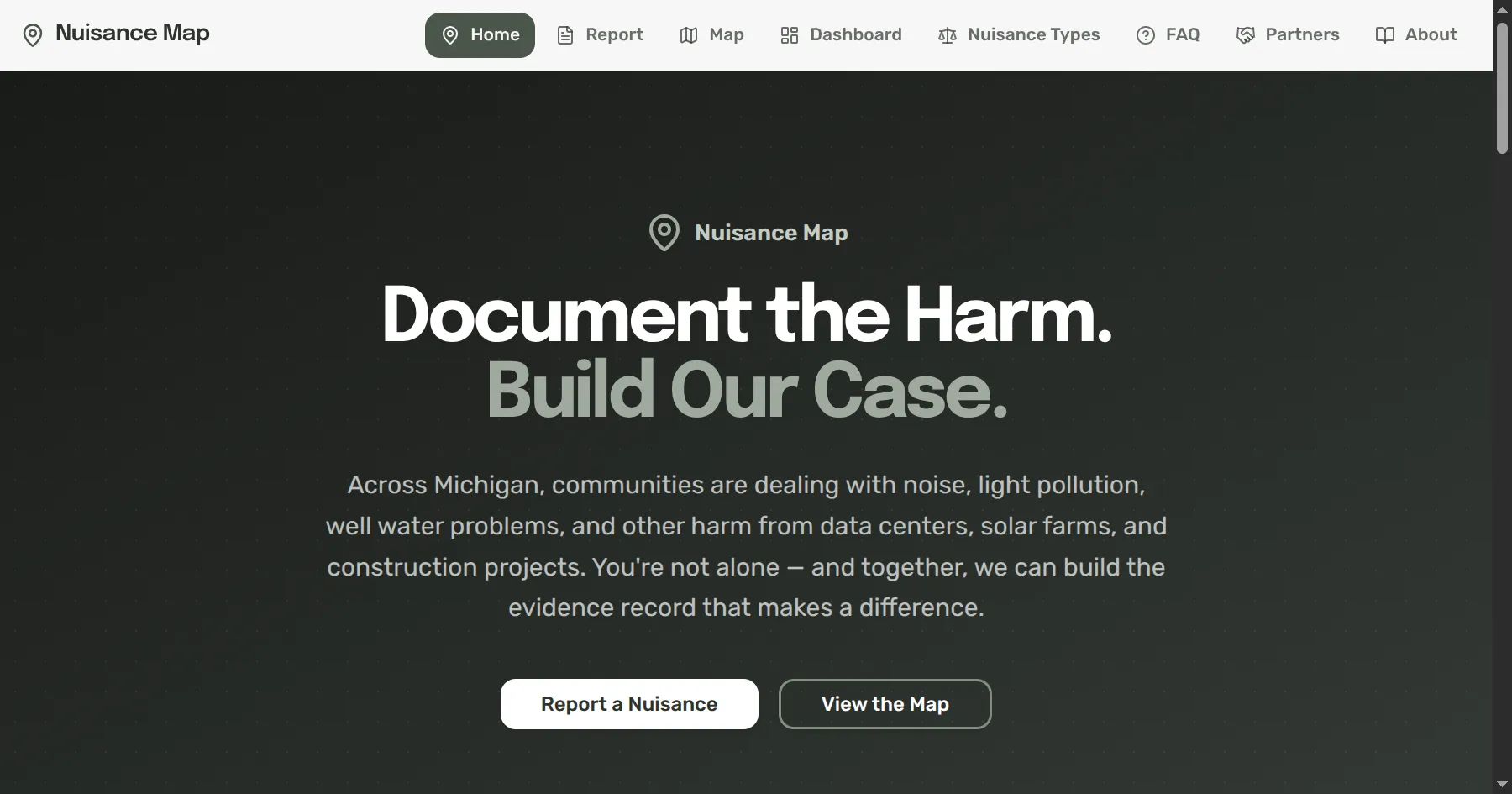
The Nuisance Map is an open-source web application that helps Michigan residents document and track evidence related to nuisance cases involving data centers, solar parks, battery storage facilities, and related construction activity. It is designed to capture the kinds of evidence that matter in legal and regulatory proceedings: photos, video, and audio with full metadata extraction, GPS coordinates, timestamps, and cryptographic hashing to establish chain of custody and authenticity.
The tool is mobile-first because many users will be documenting conditions from their own properties and neighborhoods—capturing the rumble of cooling systems at 2 AM, the glare of security lighting across a field, or the parade of construction vehicles on a county road. It supports the full range of nuisance categories recognized under Michigan law: noise, light pollution, traffic, visual and aesthetic impacts, environmental concerns, vibration, health effects, and property value impacts.
Everything about the Nuisance Map is aligned with what Michigan courts require for nuisance claims. Documentation is structured, timestamped, geolocated, and cryptographically verifiable—turning individual observations into the kind of systematic evidentiary record that legal and regulatory processes take seriously.
Michigan nuisance law sets a high bar for the evidence needed to support a claim. Courts look for objective documentation rather than subjective complaints, dated observations that establish frequency and duration, evidence of causation linking a specific facility to the harm experienced, proximity evidence showing the relationship between the source and the affected property, and pattern evidence demonstrating repeated incidents over time rather than isolated events.
Without structured documentation, individual complaints are easily dismissed as anecdotal. A single noise complaint to a township board carries little weight; a systematic record of 200 documented incidents over six months, each with timestamps, decibel readings, GPS coordinates, and cryptographic hashes, tells a very different story. The Nuisance Map helps residents build exactly this kind of evidentiary record—one that courts, regulators, and local officials can evaluate on its merits.
This work is not anti-development. AI infrastructure is important, and renewable energy deployment is essential. The communities where these facilities are built often stand to benefit from increased tax revenue, job creation, and economic activity. But development that ignores the communities it affects—that treats farmland as an empty grid square and residents as obstacles to be managed—is neither sustainable nor just.
We believe that transparency creates the conditions for good-faith engagement. Making information available, supporting community documentation, and publishing public records are not adversarial acts. They are the foundation of informed participation. When communities have access to the same quality of information and tools as the developers proposing projects in their neighborhoods, negotiations are more balanced, outcomes are more durable, and facilities are more likely to be designed as genuine neighbors rather than impositions.
Good outcomes for both developers and communities come from processes where everyone has a seat at the table and the information needed to participate meaningfully.
The Nuisance Map joins ALEA’s broader community building efforts, including:
These efforts reflect ALEA’s commitment to the principle that informed communities make better decisions—for themselves and for the broader public interest. We are actively seeking partnerships with community organizations, legal aid providers, local governments, and academic institutions interested in supporting informed community engagement with AI-related infrastructure development.
If you are a community member, local official, or organization working on infrastructure development issues, we would welcome the opportunity to collaborate. Visit our contact page or learn more about our community building work.