An open-source web application helping Michigan residents document and track evidence for nuisance cases involving data centers, solar parks, battery storage, and related construction.
In collaboration with:
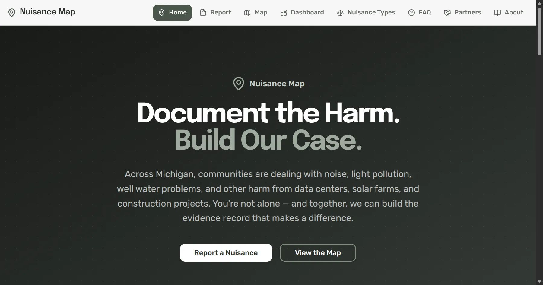
Nuisance Map is a mobile-first web application designed for Michigan residents to log and track evidence related to nuisance cases involving data centers, solar parks, battery storage facilities, wind farms, and related construction. The tool helps balance the asymmetric relationship between hyperscale infrastructure developers and the communities that host these facilities, giving residents a structured way to build legally meaningful records of impacts on their homes and neighborhoods.
Visit Nuisance Map: Access the application to document and track nuisance evidence in your community.
The application is grounded in comprehensive legal research into Michigan nuisance law, aligned with evidentiary standards from cases like Leonowicz v. Zaitona (2024). It tracks both public and private nuisance categories, covering nuisance per se (violations of statute or ordinance) and nuisance in fact (unreasonable interference with the use and enjoyment of property). This legal framework ensures that evidence captured through the tool maps directly to what courts and regulatory bodies require.
The application captures the full range of evidence that Michigan courts require for nuisance claims:
These capabilities align with judicial requirements for objective proof, dated observations, causation evidence, proximity evidence, and pattern evidence.
The application tracks impacts across multiple categories relevant to infrastructure development:
These categories apply across facility types including data centers, solar parks, battery storage, wind farms, and active construction sites.
Nuisance Map is built with modern open-source technologies. The application is freely available and designed for community use, ensuring that access to evidence documentation tools is not limited by resources or technical expertise.
Don't be shy. We'd love to hear from you.